High Peaks Map
From $59.99
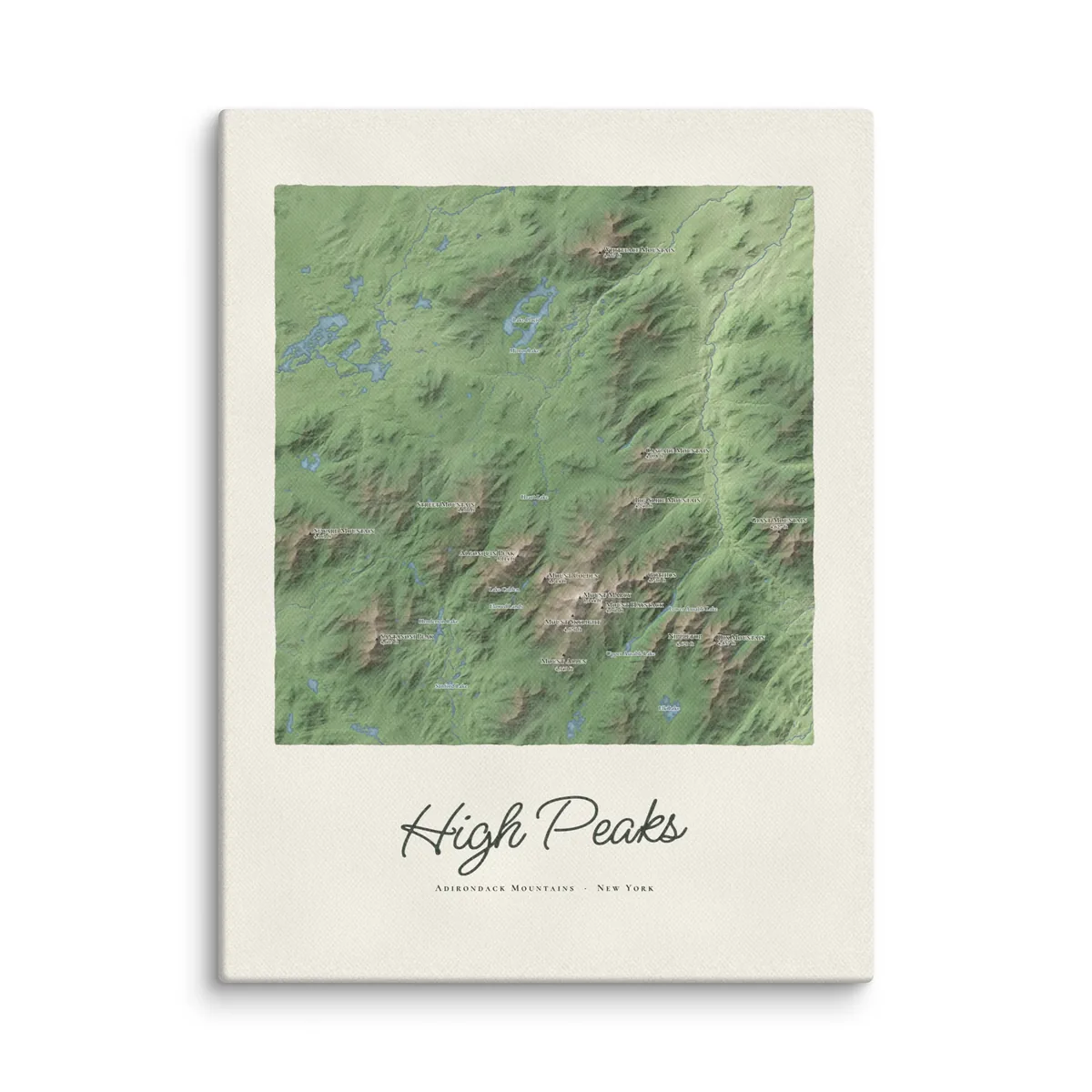
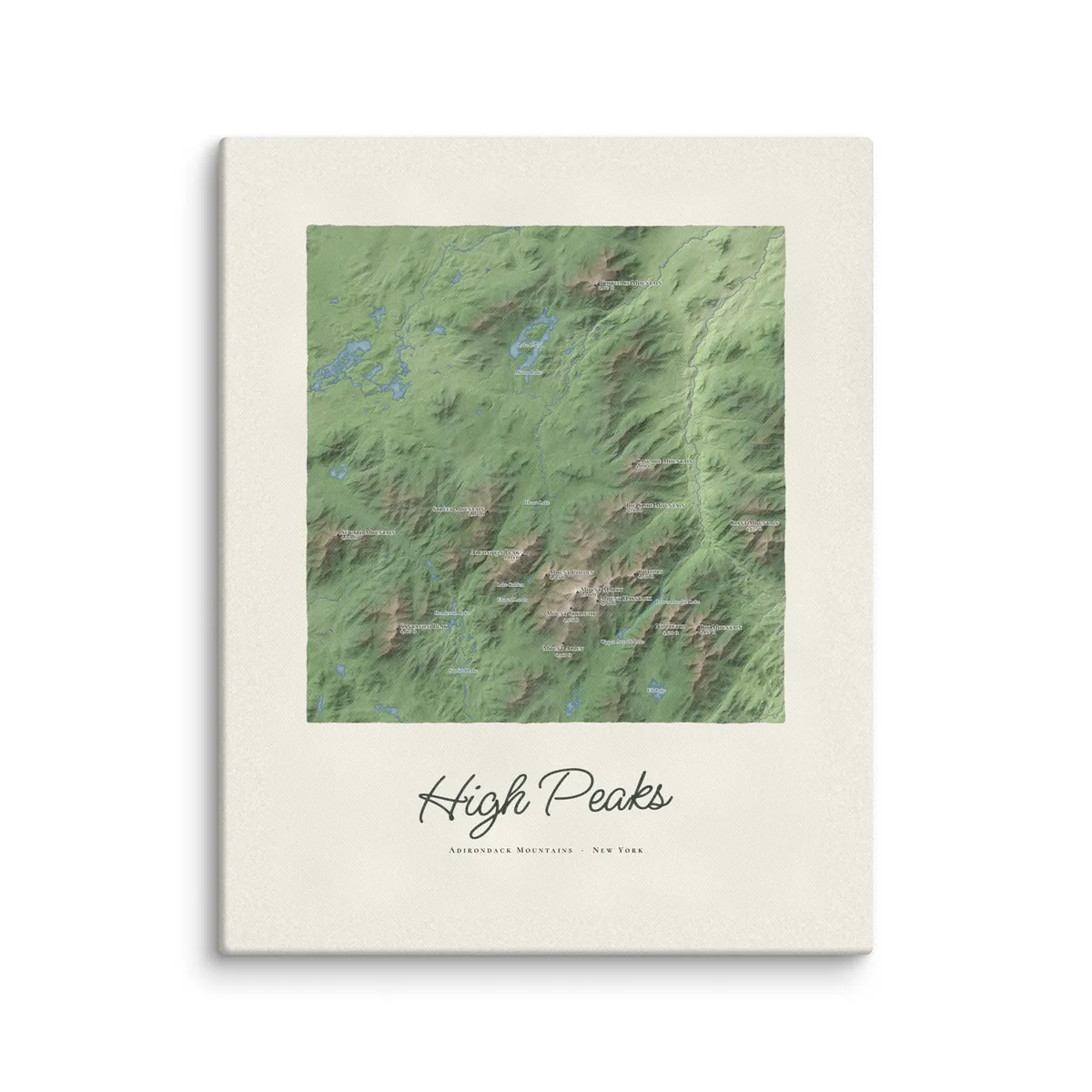
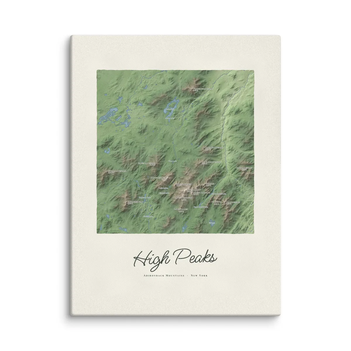
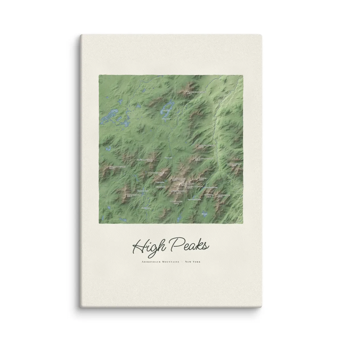
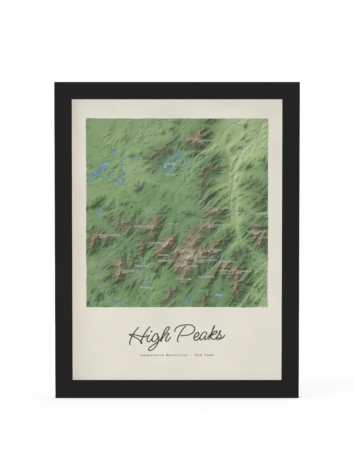
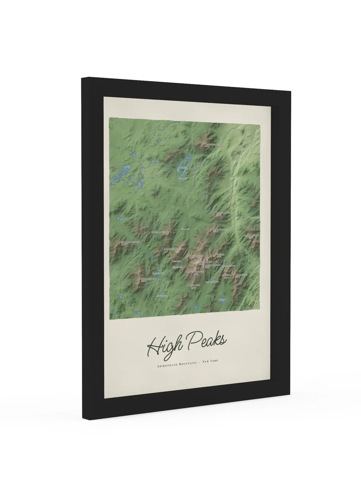
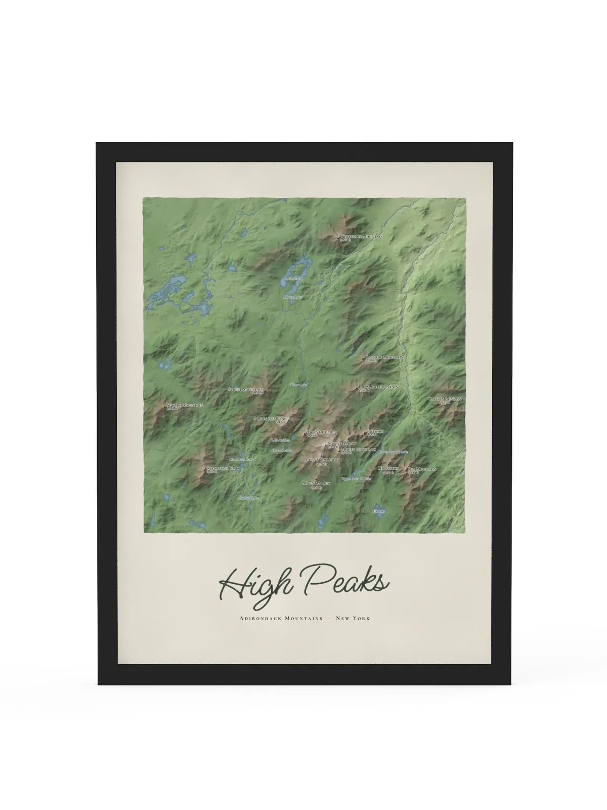
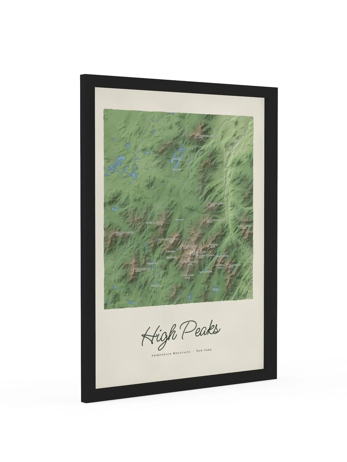
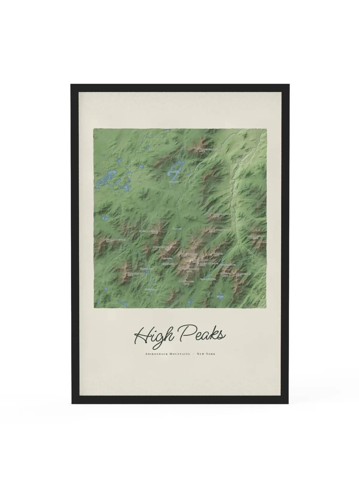
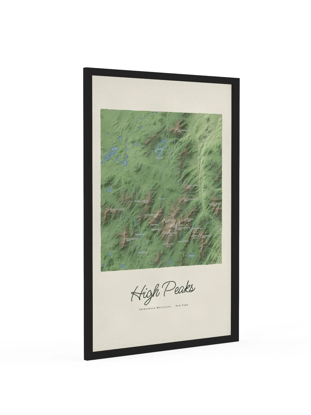
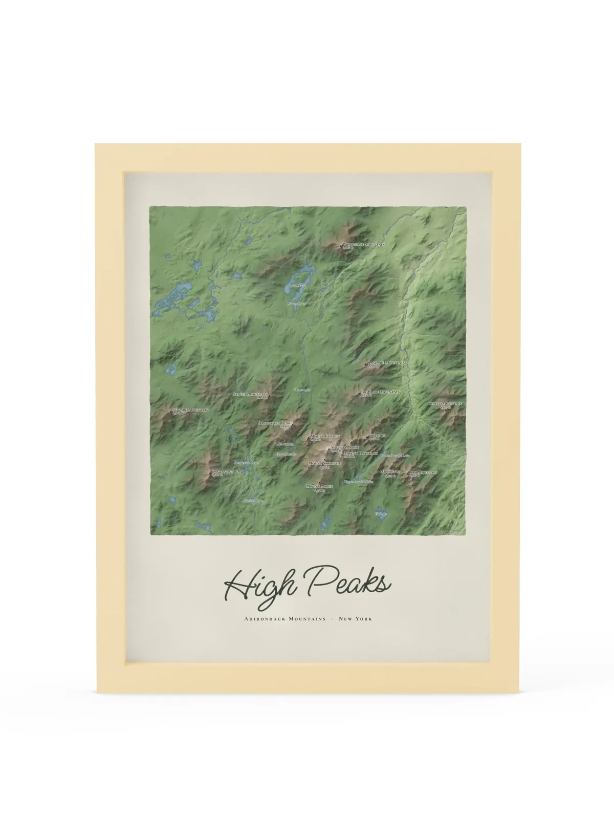
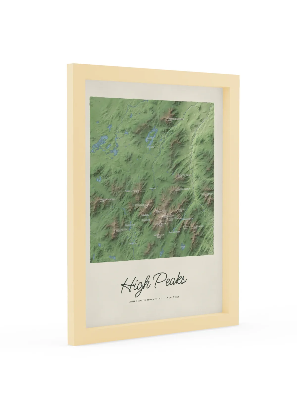
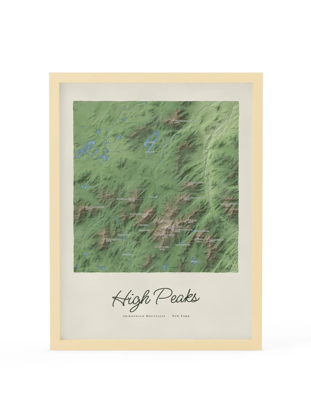
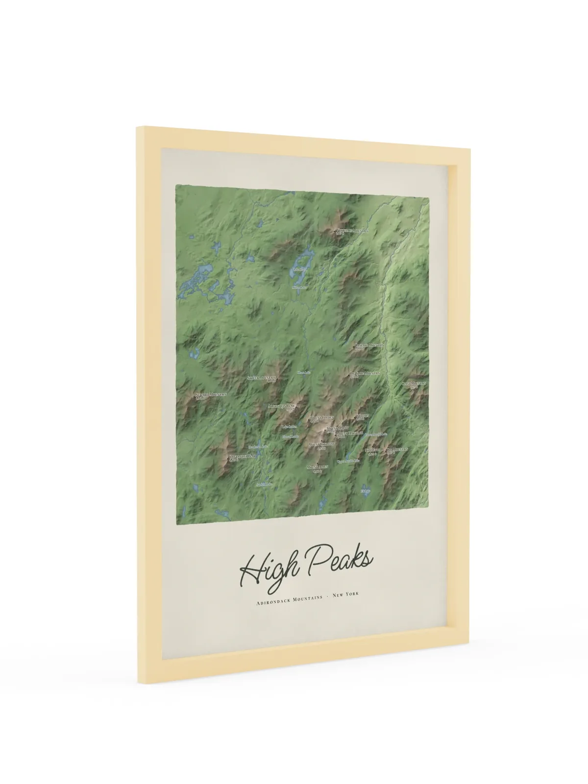
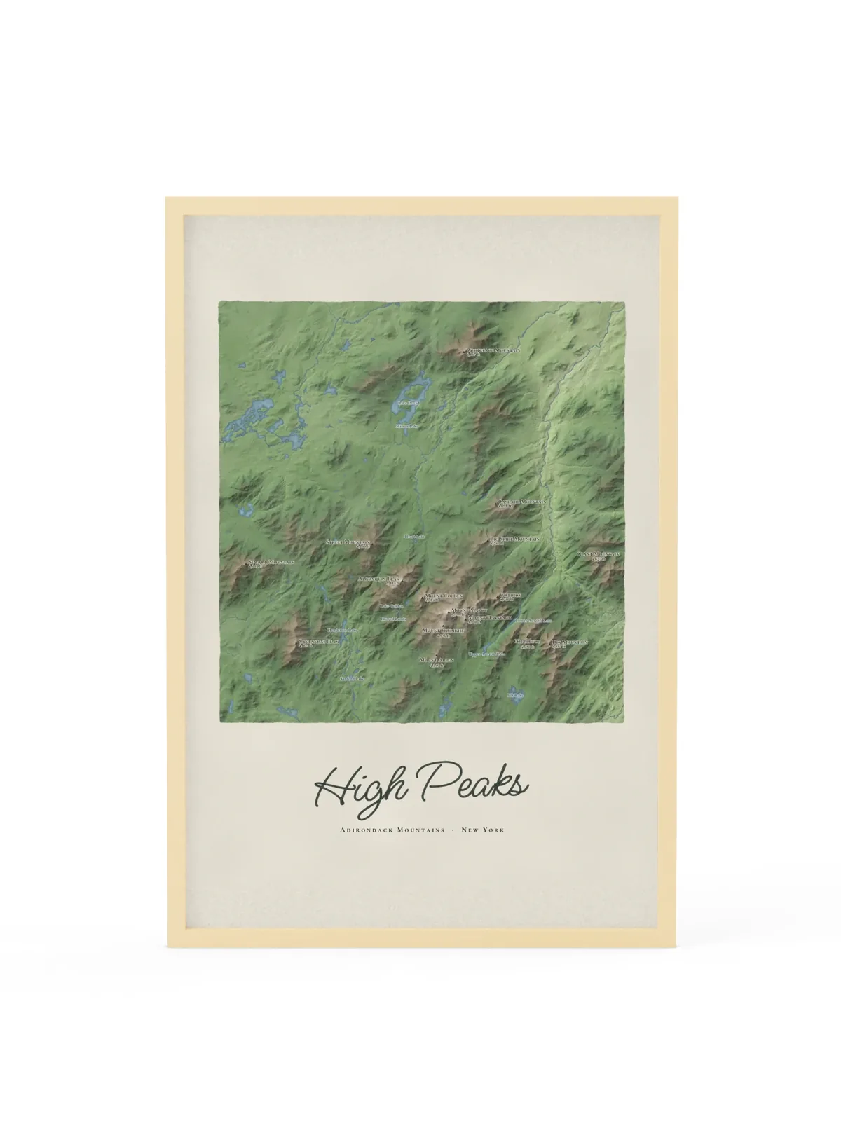
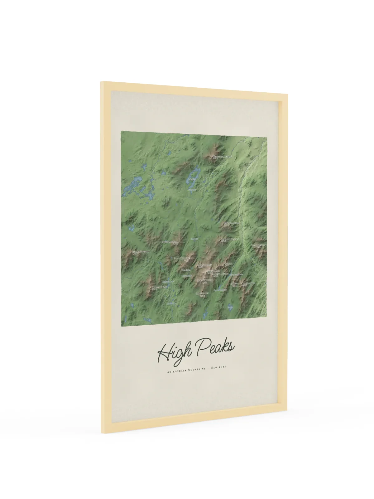
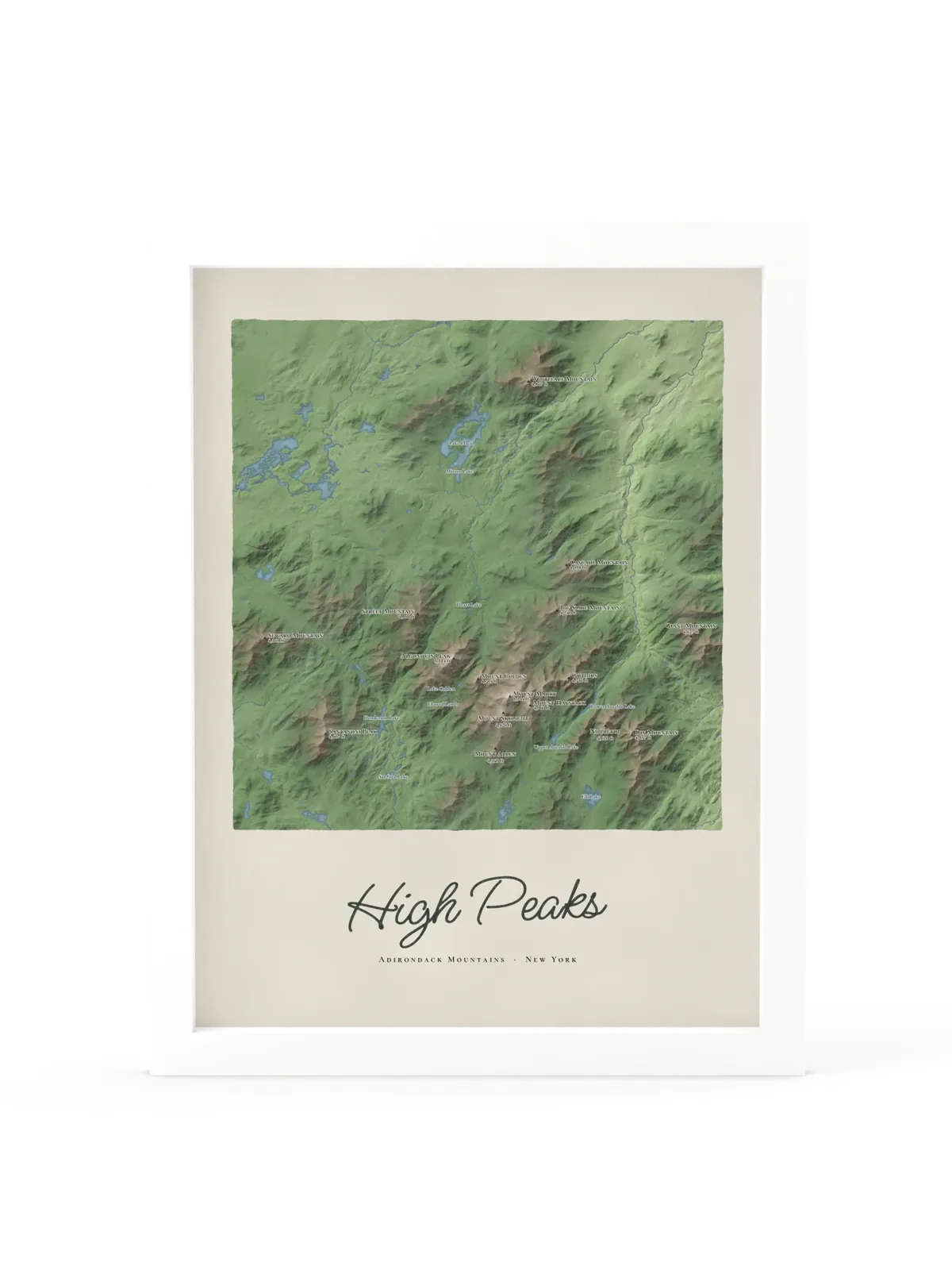
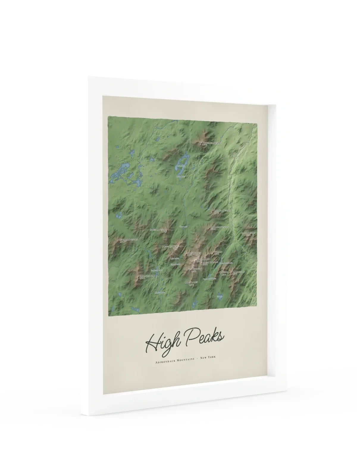
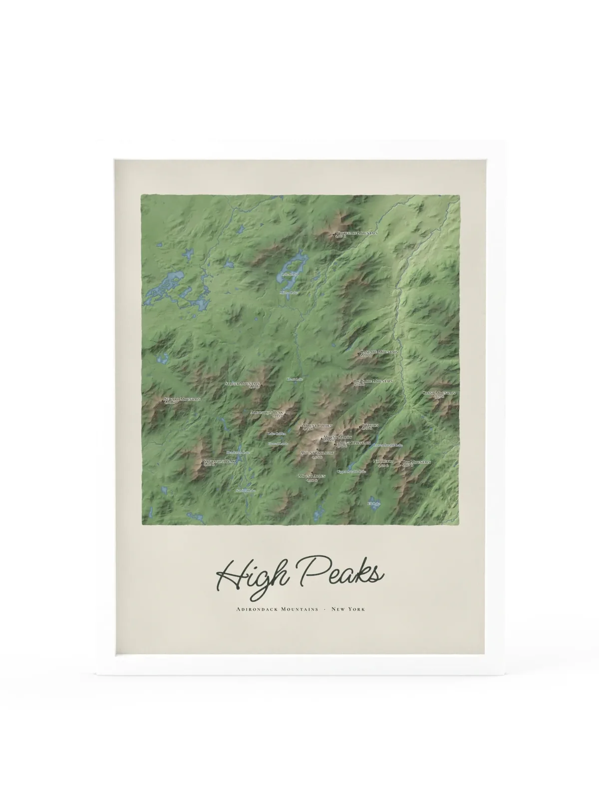
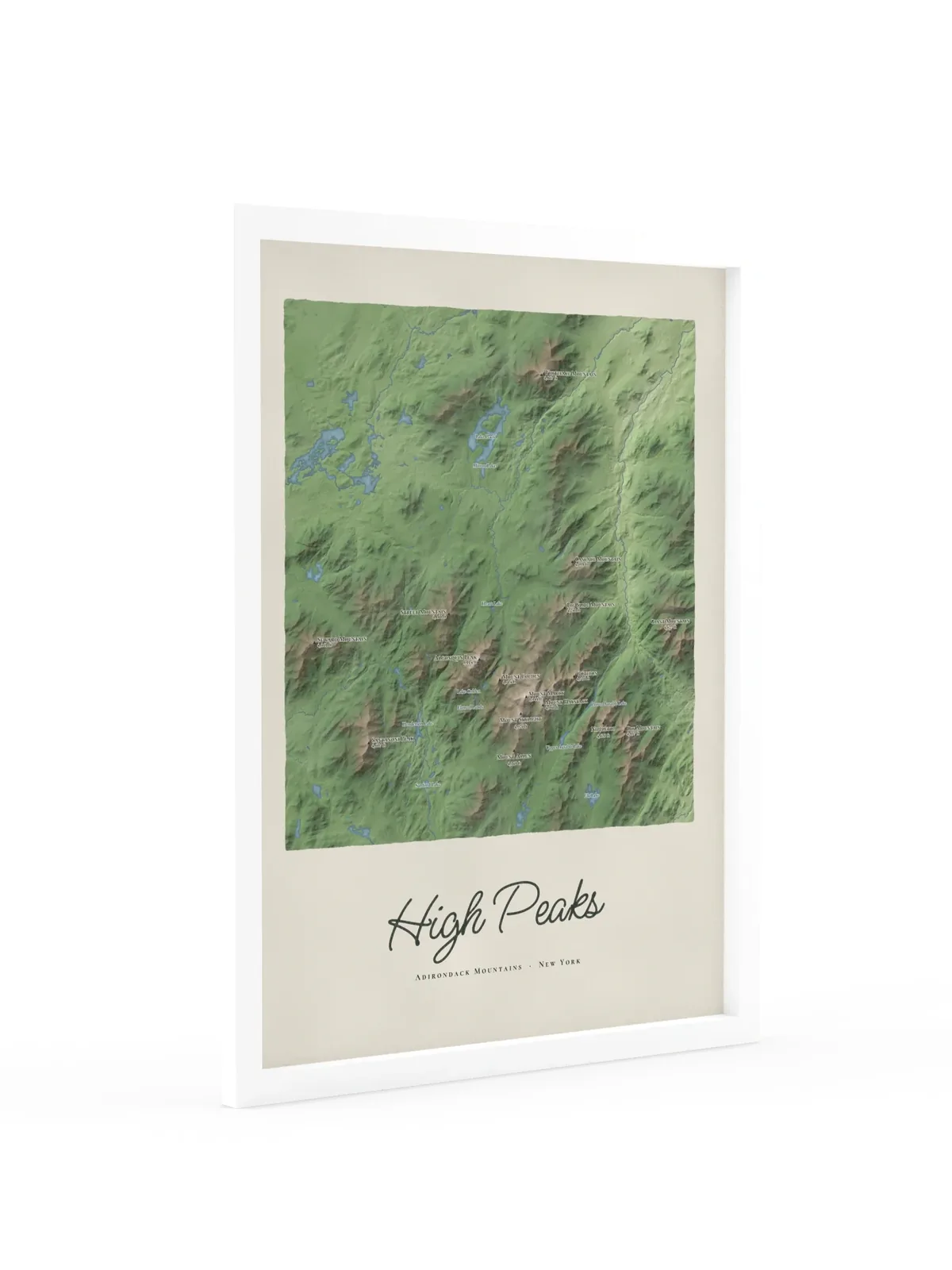
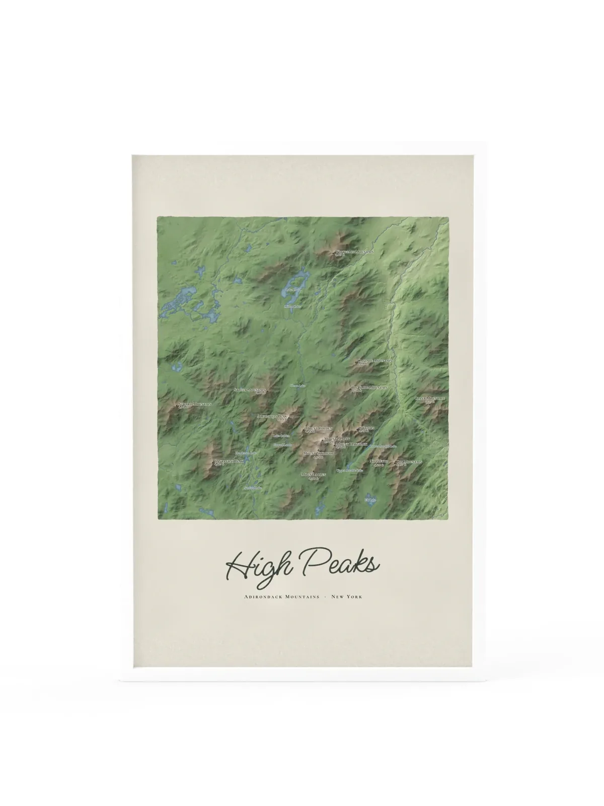
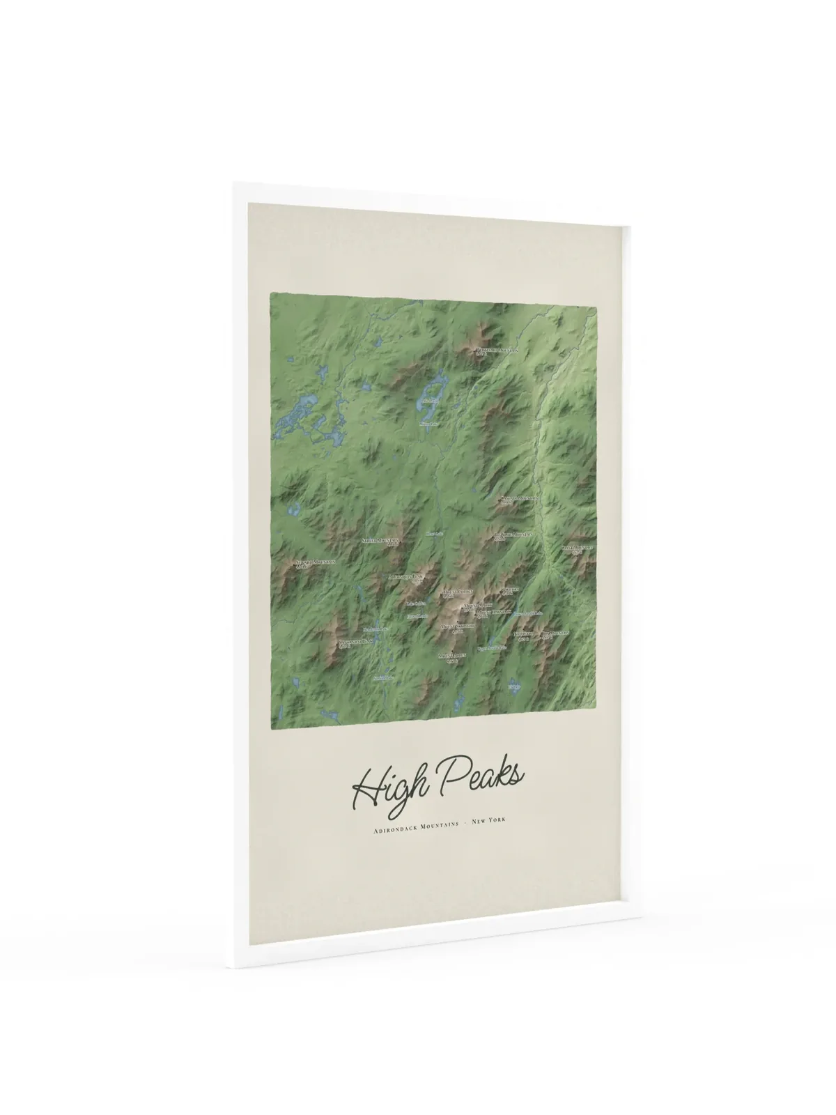
The High Peaks with every summit shaded, from Whiteface in the north to Dix in the south, and sixteen of the high peaks named with their heights, Mount Marcy at the center. Lake Placid, the Ausable lakes, Lake Colden and the rivers are all in place, with High Peaks lettered below in dark green script.
Original artwork by Ring & Ridge. Map data: U.S. Geological Survey (elevation); lakes and rivers © OpenStreetMap contributors.
Made to order: printing takes 2 to 5 business days, and US delivery usually takes 3 to 4 more. Arrives damaged or misprinted? We replace it. Shipping and returns